 |
SEALEVEL STATION CATALOG (SSC) |
|
|
|
|
|
| Station catalog metadata [edit] | [station overview] |
|---|
| SSC ID | SSC-sema | | Station Name | Semarang | | Country | Indonesia | | Latitude | -6.9479 | | Longitude | 110.42012 | | DateLastModified | 2015-10-22 19:02:29 |
| Linked codes |
|---|
| Codes | Location | Latitude | Longitude | Sensors | IOC: sema | Semarang | -6.9479 | 110.42012 | prs, pr2, rad, bat |
PTWC: sema | Semarang_ID | -6.9479 | 110.4201 | pr2, prs, rad |
PSMSL: 281 | SEMARANG | -7.0 | 110.4 | N/A |
| Distributed metadata source: IOC Sea Level Station Monitoring Facility sema |
|---|
| GTS message type | SZID53 |
| Status | Operational |
| Local Contact | Geospacial Agency of Indonesia ( Indonesia ) |
| Other Contact | GeoForschungsZentrum ( Germany ) |
| Connection | GTS message |
| Country | Indonesia |
| Sensor 1 | |
| Type of sensor | prs |
| Sampling rate (min) | 1 |
| Sensor 2 | |
| Type of sensor | pr2 |
| Sampling rate (min) | 1 |
| Sensor 3 | |
| Type of sensor | rad |
| Sampling rate (min) | 1 |
| Sensor 4 | |
| Type of sensor | bat |
| Sampling rate (min) | 15 |
| Distributed metadata source: PTWC COMP META file |
| DCP ID | ID-SEMA- |
| WMO | SZID53 |
| Samp Rate | 1 |
| Num# Samp | 30 |
| Unit | M |
| Scale | 1.0000 |
| Xmt Int. | 015 |
| Fst Min. | 0004 |
| HAR | 1 |
| Owner | BAKO |
| Distributed metadata source: PSMSL |
| Name | SEMARANG |
| Is RLR | N |
| Has RLR Diagram | N link |
| QC Flag | N |
| Old ID | 560/181 |
| Last Updated | null |
| Supplier | INSTITUTE OF HYDRAULIC ENGINEERING |
| Address | Institute of Hydraulic Engineering, Jl. Ir. H. Juanda 193, Bandung 40135, INDONESIA |
| Metric Start | 1925 |
| Metric End | 1931 |
| Metric Completeness | 100.0 |
| Download metric sea level data. | Use only with extreme caution. |
IOC Sea Level Station Monitoring Facility - realtime graph for 'sema' 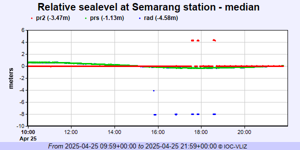 PSMSL Annual Mean Sea Level for '281'  PSMSL Monthly Mean Sea Level for '281' 
|
|
|