| Station catalog metadata [edit] | [station overview] |
|---|
| SSC ID | SSC-scor |
| Station Name | Ittoqqortoormiit |
| Country | Denmark |
| Latitude | 70.4838 |
| Longitude | -21.962 |
| DateLastModified | 2015-10-22 19:02:29 |
| Linked codes |
|---|
| Codes | Location | Latitude | Longitude | Sensors |
IOC: scor | Ittoqqortoormiit, Scoresbysund | 70.4838 | -21.962 | prs |
GLOSS: 315 | Ittoqqortoormiit/Scoresbysund | 70.48333 | -21.96666 | |
UHSLC: 809 | Ittoqqortoormiit | 70.483 | -21.983 | N/A |
PSMSL: 2168 | SCORESBYSUND | 70.4833 | -21.9833 | N/A |
SONEL_GPS: 1926 | SCORESBYSUND | 70.48533317 | -21.95033554 | N/A |
SONEL_TG: 2341 | SCORESBYSUND | 70.48380000 | -21.96200000 | N/A |
| Distributed metadata source: IOC Sea Level Station Monitoring Facility scor |
|---|
| Status | Operational |
| Local Contact | Danish National Space Centre, Technical University of Denmark ( Denmark ) |
| Connection | FTP box |
| Country | Greenland |
| Sensor 1 | |
| Type of sensor | prs |
| Sampling rate (min) | 1 |
| Distributed metadata source: GLOSS Station Handbook |
|---|
| Responsible country | Denmark |
| Other relevant information | Aanderaa WLR7 |
| Distributed metadata source: UHSLC |
| UHSLC id | 809 |
| SSC id | scor |
| GLOSS id | 315 |
| UHSLC geojson | https://uhslc.soest.hawaii.edu/data/meta.geojson |
| Fast delivery | 2007-10-15 - 2026-05-31 |
| Distributed metadata source: PSMSL |
| Name | SCORESBYSUND |
| GLOSS id | 315 |
| UHSLC ID | 809 |
| SONEL id | 1926 |
| Is RLR | N |
| Has RLR Diagram | N link |
| QC Flag | N |
| Old ID | 980/026 |
| Last Updated | 2023-11-15 |
| Supplier | DANISH NATIONAL SPACE CENTER |
| Address | DTU Space, National Space Institute, Geodesy, Technical University of Denmark, Elektrovej, Building 328, room 116, 2800 Kgs. Lyngby, DENMARK |
| Metric Start | 2007 |
| Metric End | 2021 |
| Metric Completeness | 58.3 |
| Download metric sea level data. | Use only with extreme caution. |
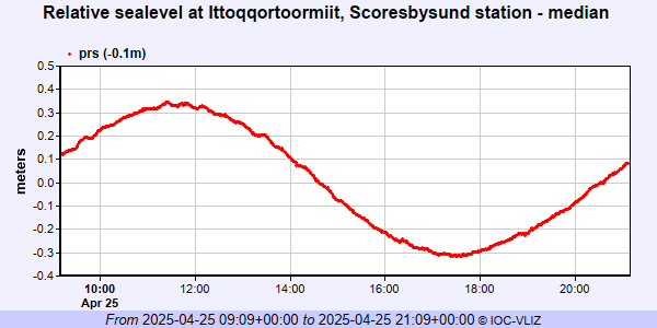
IOC Sea Level Station Monitoring Facility - realtime graph for 'scor'
PSMSL Annual Mean Sea Level for '2168'

PSMSL Monthly Mean Sea Level for '2168'

