 |
SEALEVEL STATION CATALOG (SSC) |
|
|
|
|
|
| Station catalog metadata [edit] | [station overview] |
|---|
| SSC ID | SSC-sandn | | Station Name | Sandnes | | Country | Norway | | Latitude | 58.868232 | | Longitude | 5.746613 | | DateLastModified | 2023-06-29 16:40:51 |
| Linked codes |
|---|
| Codes | Location | Latitude | Longitude | Sensors | IOC: Sandn | Sandnes | 58.868232 | 5.746613 | rad |
PSMSL: 2398 | SANDNES | 58.868232 | 5.746613 | N/A |
| Distributed metadata source: IOC Sea Level Station Monitoring Facility Sandn |
|---|
| Status | Operational |
| Local Contact | Norwegian Hydrographic Service ( Norway ) |
| Connection | WEB service |
| Country | Norway |
| Sensor 1 | |
| Type of sensor | rad |
| Sampling rate (min) | 10 |
| Distributed metadata source: PSMSL |
| Name | SANDNES |
| Is RLR | Y |
| Has RLR Diagram | Y link |
| QC Flag | N |
| Last Updated | 2025-01-09 |
| Supplier | STATENS KARTVERK |
| Address | Statens Kartverk, Geodesidivisjonen, 3500 Honefoss, NORWAY |
| Metric Start | 2021 |
| Metric End | 2024 |
| Metric Completeness | 77.1 |
| RLR Start | 2021 |
| RLR End | 2024 |
| RLR Completeness | 77.1 |
| Download metric sea level data. | Use only with extreme caution. |
IOC Sea Level Station Monitoring Facility - realtime graph for 'Sandn' 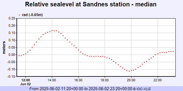 PSMSL Annual Mean Sea Level for '2398'  PSMSL Monthly Mean Sea Level for '2398' 
|
|
|