 |
SEALEVEL STATION CATALOG (SSC) |
|
|
|
|
|
| Station catalog metadata [edit] | [station overview] |
|---|
| SSC ID | SSC-ravn | | Station Name | Ravenna (Porto Corsini) | | Country | Italy | | Latitude | 44.492075 | | Longitude | 12.282936111111 | | DateLastModified | 2015-10-22 19:35:22 |
| Linked codes |
|---|
| Codes | Location | Latitude | Longitude | Sensors | IOC: RA10 | Ravenna | 44.492075 | 12.282936111111 | rad |
PSMSL: 100 | PORTO CORSINI | 44.5 | 12.283333 | N/A |
PSMSL: 2085 | RAVENNA (PORTO CORSINI) | 44.49205 | 12.282731 | N/A |
PSMSL: 2361 | PORTO CORSINI II | 44.5 | 12.283332999999999 | N/A |
| Distributed metadata source: IOC Sea Level Station Monitoring Facility RA10 |
|---|
| Status | Operational |
| Local Contact | Istituto Superiore per la Protezione e la Ricerca Ambientale ( Italy ) |
| Connection | WEB service |
| Country | Italy |
| Sensor 1 | |
| Type of sensor | rad |
| Sampling rate (min) | 1 |
| Distributed metadata source: PSMSL |
| Name | PORTO CORSINI |
| Is RLR | Y |
| Has RLR Diagram | Y link |
| QC Flag | N |
| Old ID | 270/035 |
| Last Updated | null |
| Supplier | CNR - ISTITUTO DI SCIENZE MARINE |
| Address | CNR - Istituto di Scienze Marine, AREA Science Park, Basovizza, I-34149 Trieste, ITALY |
| Metric Start | 1896 |
| Metric End | 1972 |
| Metric Completeness | 74.5 |
| RLR Start | 1969 |
| RLR End | 1972 |
| RLR Completeness | 93.8 |
| Download metric sea level data. | Use only with extreme caution. |
| Name | RAVENNA (PORTO CORSINI) |
| Is RLR | N |
| Has RLR Diagram | N link |
| QC Flag | N |
| Old ID | 270/033 |
| Last Updated | 2016-10-18 |
| Supplier | ISPRA |
| Address | Institute for Environmental Protection and Research, Via Vitaliano , Brancati 48, 00144 Roma, ITALY |
| Metric Start | 2001 |
| Metric End | 2015 |
| Metric Completeness | 98.9 |
| Download metric sea level data. | Use only with extreme caution. |
| Name | PORTO CORSINI II |
| Is RLR | N |
| Has RLR Diagram | N link |
| QC Flag | N |
| Old ID | 270/036 |
| Last Updated | 2020-11-06 |
| Supplier | UNIVERSITY OF BOLOGNA |
| Address | University of Bologna, Via Zamboni, 33, 40126 Bologna, ITALY |
| Metric Start | 1873 |
| Metric End | 1979 |
| Metric Completeness | 85.8 |
| Download metric sea level data. | Use only with extreme caution. |
IOC Sea Level Station Monitoring Facility - realtime graph for 'RA10' 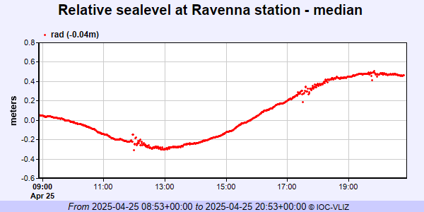 PSMSL Annual Mean Sea Level for '100'  PSMSL Annual Mean Sea Level for '2085'  PSMSL Annual Mean Sea Level for '2361'  PSMSL Monthly Mean Sea Level for '2361' 
|
|
|