 |
SEALEVEL STATION CATALOG (SSC) |
|
|
|
|
|
| Station catalog metadata [edit] | [station overview] |
|---|
| SSC ID | SSC-nain | | Station Name | Nain | | Country | Canada | | Latitude | 56.55 | | Longitude | -61.68 | | DateLastModified | 2015-10-22 19:02:29 |
| Distributed metadata source: IOC Sea Level Station Monitoring Facility nain |
|---|
| Status | Operational |
| Local Contact | Fisheries and Oceans Canada ( Canada ) |
| Connection | WEB service |
| Country | Canada |
| Sensor 1 | |
| Type of sensor | enc |
| Sampling rate (min) | 1 |
| Distributed metadata source: GLOSS Station Handbook |
|---|
| Time Zone | 060W, GMT - 4hrs | | Ocean | Atlantic | | Operational | Yes | | Responsible country | Canada | | Data acquisition rate | Hourly | | Additional parameters | Barometric pressure and water temperature | | Tide gauge benchmarks | BM 'yard' Elevation 8.680m above Chart Datum. A CHS tablet set vertically in top of rock outcrop in the Moravian Mission yard, 14m south of the SE corner of the minister's residence & 2m W of the mission boarding house. | | Benchmark relationships | 1963-1981 BM 'yard' elevation 7.462m above Chart Datum
1981-1989 BM 'yard' elevation 8.680m above Chart Datum
| | Auxiliary benchmarks | 86F9000: Elevation 5.925m above Chart Datum
'man hole key': Elevation 7.974m above Chart Datum
| | Other relevant information | Float/stilling well 1963-1988
Other pressure type gauge 1989-1994. Data available at http://www.waterlevels.gc.ca, http://www.meds-sdmm.dfo-mpo.gc.ca/meds/Databases/TWL/TWL_inventory_e.htm and http://www.meds-sdmm.dfo-mpo.gc.ca/meds/prog_nat/benchmark/public/default_e.as | | Nearest Met. station | 1km from gauge site |
| Distributed metadata source: UHSLC |
| UHSLC id | 833 |
| SSC id | nain |
| GLOSS id | 224 |
| UHSLC geojson | https://uhslc.soest.hawaii.edu/data/meta.geojson |
| Research quality data version a | 1963-10-17 - 2018-12-31 |
| RQ basin | atlantic |
| Fast delivery | 1963-10-17 - 2026-05-31 |
| Distributed metadata source: PSMSL |
| Name | NAIN |
| GLOSS id | 224 |
| UHSLC ID | 833 |
| SONEL id | 748 |
| Is RLR | Y |
| Has RLR Diagram | Y link |
| QC Flag | N |
| Old ID | 970/134 |
| Last Updated | 2025-06-19 |
| Supplier | CANADIAN HYDROGRAPHIC SERVICE |
| Address | Canadian Hydrographic Service, 615 Booth Street, Ottawa , Ontario K1A 0E6, CANADA |
| Metric Start | 1963 |
| Metric End | 2024 |
| Metric Completeness | 48.1 |
| RLR Start | 2001 |
| RLR End | 2024 |
| RLR Completeness | 77.1 |
| Download metric sea level data. | Use only with extreme caution. |
IOC Sea Level Station Monitoring Facility - realtime graph for 'nain' 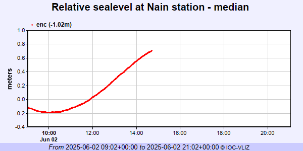 PSMSL Annual Mean Sea Level for '1029'  PSMSL Monthly Mean Sea Level for '1029' 
|
|
|