 |
SEALEVEL STATION CATALOG (SSC) |
|
|
|
|
|
| Station catalog metadata [edit] | [station overview] |
|---|
| SSC ID | SSC-mess | | Station Name | Messina | | Country | Italy | | Latitude | 38.1963 | | Longitude | 15.5635 | | DateLastModified | 2015-10-22 19:29:04 |
| Distributed metadata source: IOC Sea Level Station Monitoring Facility ME13 |
|---|
| Status | Operational |
| Local Contact | Istituto Superiore per la Protezione e la Ricerca Ambientale ( Italy ) |
| Connection | WEB service |
| Country | Italy |
| Sensor 1 | |
| Type of sensor | rad |
| Sampling rate (min) | 1 |
| Distributed metadata source: PSMSL |
| Name | MESSINA |
| SONEL id | 3441 |
| Is RLR | N |
| Has RLR Diagram | N link |
| QC Flag | N |
| Old ID | 260/001 |
| Last Updated | null |
| Supplier | INSTITUTO IDROGRAFICO DELLA MARINA, GENOVA |
| Address | Istituto Idrografico della Marina, Passo Osservatorio 4, 16134 Genova, ITALY |
| Metric Start | 1897 |
| Metric End | 1923 |
| Metric Completeness | 95.7 |
| Download metric sea level data. | Use only with extreme caution. |
| Name | MESSINA II |
| SONEL id | 3441 |
| Is RLR | N |
| Has RLR Diagram | N link |
| QC Flag | N |
| Old ID | 260/024 |
| Last Updated | 2016-10-18 |
| Supplier | ISPRA |
| Address | Institute for Environmental Protection and Research, Via Vitaliano , Brancati 48, 00144 Roma, ITALY |
| Metric Start | 2001 |
| Metric End | 2015 |
| Metric Completeness | 99.4 |
| Download metric sea level data. | Use only with extreme caution. |
IOC Sea Level Station Monitoring Facility - realtime graph for 'ME13' 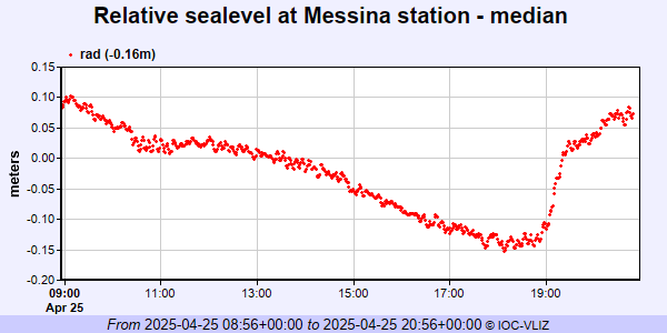 PSMSL Annual Mean Sea Level for '115'  PSMSL Annual Mean Sea Level for '2081'  PSMSL Monthly Mean Sea Level for '2081' 
|
|
|