 |
SEALEVEL STATION CATALOG (SSC) |
|
|
|
|
|
| Station catalog metadata [edit] | [station overview] |
|---|
| SSC ID | SSC-golf | | Station Name | Golfito | | Country | Costa Rica | | Latitude | 8.636167 | | Longitude | -83.16713889 | | DateLastModified | 2025-04-06 00:29:18 |
| Linked codes |
|---|
| Codes | Location | Latitude | Longitude | Sensors | IOC: golf | Golfito | 8.636167 | -83.16713889 | rad, prs, bat |
PTWC: golf | Golfito_CR | 8.6362 | -83.1671 | prs, rad |
| Distributed metadata source: IOC Sea Level Station Monitoring Facility golf |
|---|
| GTS station code | 354039E0 |
| GTS message type | SOCR10 |
| Status | Operational |
| Local Contact | Universidad Nacional Costa Rica, SINAMOT ( Costa Rica ) |
| Connection | GTS message |
| Country | Costa Rica |
| Sensor 1 | |
| Type of sensor | prs |
| Sampling rate (min) | 1 |
| Sensor 2 | |
| Type of sensor | rad |
| Sampling rate (min) | 1 |
| Sensor 3 | |
| Type of sensor | bat |
| Sampling rate (min) | 5 |
| Distributed metadata source: PTWC COMP META file |
| DCP ID | 354039E0 |
| WMO | SOCR10 |
| Samp Rate | 1 |
| Num# Samp | 5 |
| Unit | M |
| Scale | 1.0000 |
| Xmt Int. | 005 |
| Fst Min. | 0001 |
| HAR | 0 |
| Owner | UNACR |
IOC Sea Level Station Monitoring Facility - realtime graph for 'golf' 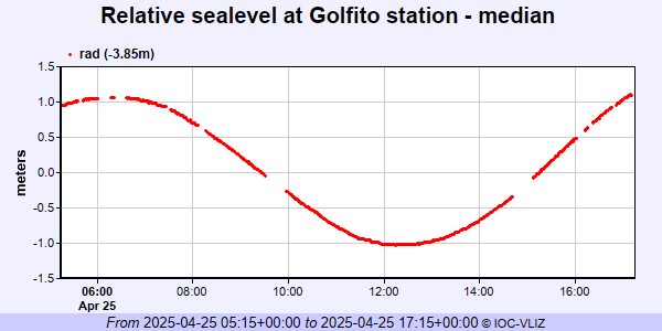
|
|
|