 |
SEALEVEL STATION CATALOG (SSC) |
|
|
|
|
|
| Station catalog metadata [edit] | [station overview] |
|---|
| SSC ID | SSC-fama | | Station Name | Famagusta | | Country | Cyprus | | Latitude | 35.116667 | | Longitude | 33.95 | | DateLastModified | 2015-10-22 19:02:29 |
| Linked codes |
|---|
| Codes | Location | Latitude | Longitude | Sensors | PSMSL: 2023 | GAZIMAGUSA | 35.123333 | 33.950278 | N/A |
PSMSL: 2145 | GAZIMAGUSA II | 35.116667 | 33.95 | N/A |
PSMSL: 436 | FAMAGUSTA | 35.116667 | 33.95 | N/A |
| Distributed metadata source: PSMSL |
| Name | GAZIMAGUSA |
| Is RLR | N |
| Has RLR Diagram | N link |
| QC Flag | N |
| Old ID | 315/015 |
| Last Updated | 2010-07-08 |
| Supplier | GENERAL DIRECTORATE OF MAPPING |
| Address | General Directorate of Mapping, Tlp Fakultesi Cad, 06590 Cebeci/Cankaya, Ankara, TÜRKİYE |
| Metric Start | 2008 |
| Metric End | 2009 |
| Metric Completeness | 58.3 |
| Download metric sea level data. | Use only with extreme caution. |
| Name | GAZIMAGUSA II |
| Is RLR | N |
| Has RLR Diagram | N link |
| QC Flag | N |
| Old ID | 315/025 |
| Last Updated | 2012-06-12 |
| Supplier | MAPPING DEPARTMENT |
| Address | Mapping Department, Ministry of Housing, Lefkosa, Via Mersin-10, Turkish Republic of Northern Cyprus, TÜRKİYE |
| Metric Start | 2009 |
| Metric End | 2011 |
| Metric Completeness | 100.0 |
| Download metric sea level data. | Use only with extreme caution. |
| Name | FAMAGUSTA |
| Is RLR | Y |
| Has RLR Diagram | Y link |
| QC Flag | N |
| Old ID | 315/001 |
| Last Updated | 1989-11-09 |
| Supplier | LANDS AND SURVEYS, CYPRUS |
| Address | Department of Lands and Surveys, Nicosia, CYPRUS |
| Metric Start | 1938 |
| Metric End | 1940 |
| Metric Completeness | 75.0 |
| RLR Start | 1938 |
| RLR End | 1940 |
| RLR Completeness | 75.0 |
| Download metric sea level data. | Use only with extreme caution. |
PSMSL Annual Mean Sea Level for '2023'  PSMSL Annual Mean Sea Level for '2145'  PSMSL Annual Mean Sea Level for '436' 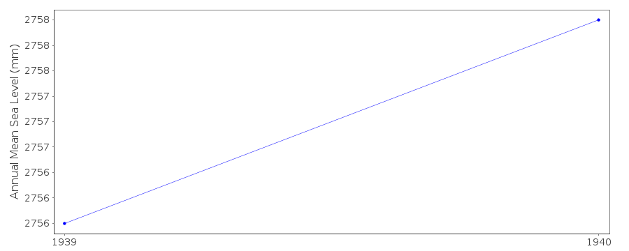 PSMSL Monthly Mean Sea Level for '436' 
|
|
|