 |
SEALEVEL STATION CATALOG (SSC) |
|
|
|
|
|
| Station catalog metadata [edit] | [station overview] |
|---|
| SSC ID | SSC-clst | | Station Name | Celestun | | Country | Mexico | | Latitude | 20.864506 | | Longitude | -90.405121 | | DateLastModified | 2015-10-22 19:02:29 |
| Linked codes |
|---|
| Codes | Location | Latitude | Longitude | Sensors | IOC: clst | Celestun, Yuc. | 20.864506 | -90.405121 | flt |
UHSLC: 861 | Celestun | 20.8583 | -90.4033 | N/A |
PTWC: clst | Celeston_MX | 20.8645 | -90.4051 | flt |
PSMSL: 2180 | CELESTUN | 20.85 | -90.4 | N/A |
| Distributed metadata source: IOC Sea Level Station Monitoring Facility clst |
|---|
| Status | Operational |
| Local Contact | Universidad Nacional Autónoma de México ( Mexico ) |
| Other Contact | International Tsunami Information Center Caribbean Office ( USA ) |
| Connection | FTP box |
| Country | Mexico |
| Sensor 1 | |
| Type of sensor | flt |
| Sampling rate (min) | 1 |
| Distributed metadata source: PTWC COMP META file |
| DCP ID | 1234AAD5 |
| WMO | FTPIO0 |
| Samp Rate | 1 |
| Num# Samp | 10 |
| Unit | m |
| Scale | 1.0000 |
| Xmt Int. | 010 |
| Fst Min. | 0000 |
| HAR | 0 |
| Owner | UNAM |
| Distributed metadata source: UHSLC |
| UHSLC id | 861 |
| SSC id | clst |
| UHSLC geojson | https://uhslc.soest.hawaii.edu/data/meta.geojson |
| Research quality data version a | 2010-02-12 - 2011-08-19 |
| RQ basin | atlantic |
| Distributed metadata source: PSMSL |
| Name | CELESTUN |
| UHSLC ID | 861 |
| Is RLR | N |
| Has RLR Diagram | N link |
| QC Flag | N |
| Old ID | 920/010 |
| Last Updated | 2013-12-17 |
| Supplier | NATIONAL AUTONOMOUS UNIVERSITY OF MEXICO (UNAM) |
| Address | National Autonomous University of Mexico (UNAM), Center of Atmospheric Science, Av. Universidad 3000, Copilco, Coyoacan, 04510 Mexico City, Federal District, MEXICO |
| Metric Start | 2010 |
| Metric End | 2011 |
| Metric Completeness | 79.2 |
| Download metric sea level data. | Use only with extreme caution. |
IOC Sea Level Station Monitoring Facility - realtime graph for 'clst' 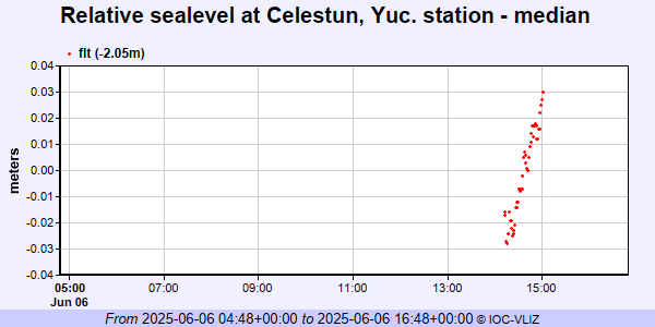 PSMSL Annual Mean Sea Level for '2180'  PSMSL Monthly Mean Sea Level for '2180' 
|
|
|